

ITANAGAR, 17 Nov: In view of recent reports of the Siang river turning muddy, the State Remote Sensing Application Centre (SRSAC) started monitoring the river, using high resolution satellite imageries.
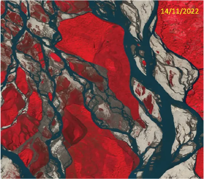
“Multi-date satellite data of different dates of this month of Siang river near Pasighat shows highest turbidity on 6 November, 2022. It was observed that turbidity of Siang is reducing and almost clear on 14 November, 2022,” the SRSAC informed in a release.
SRSAC Joint Director Liagi Tajo said that the source of the muddy water is yet to be confirmed.
“The SRSAC is still browsing various satellite imageries of the turbid water all along the Siang river to find out the source of it and the exact cause of muddiness,” he said.


