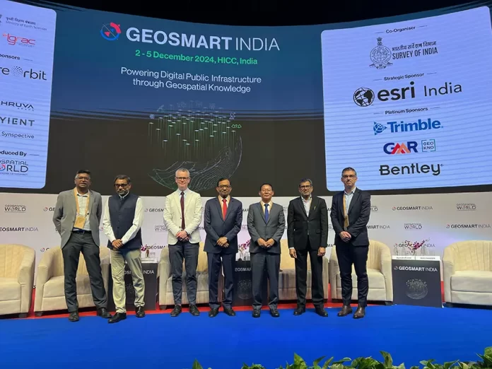
HYDERABAD, 2 Dec: Arunachal Pradesh Urban Affairs Minister Balo Raja said that geospatial technology is a transformative technology and geospatial tools such as GIS, remote sensing, and GPS have already proven to be invaluable in GoAP’s ongoing efforts.
He was speaking during the inaugural session of the 24th edition of the Geo-smart India Conference at the Novotel International Convention Centre here in Telangana on Monday. The conference, themed ‘Powering digital public infrastructure through geospatial knowledge’, was attended by experts and professionals from across the nation, besides from the USA, Australia and the UK.
Raja said that innovation and simultaneous use of tools and technologies such as digital public infrastructure (DPI) has made significant strides in the recent years, especially post pandemic.
“As the minister for urban affairs, land management and civil aviation of Arunachal Pradesh, I am committed to improvement in these critical areas in my state and hence all-out efforts are being exerted by the state government. As we work on these priorities, we recognise that technology is the driving force behind future of governance and development.
“Geospatial tools such as GIS, remote sensing, and GPS have already proven to be invaluable in our ongoing efforts. These technologies give us the power to make more informed decisions and to plan and manage resources efficiently,” he said.
The minister informed that the government of Arunachal has already taken significant steps in this direction and established the Arunachal Pradesh State Remote Sensing Application Centre to promote the use of geospatial technology in various sectors, including urban planning, disaster management, and natural resource management
“In the realm of urban affairs, we are leveraging geospatial technology to develop smart city master plans, monitor urbanisation patterns, and optimise public services such as transportation, waste management, and public safety. In this direction, we have successfully prepared a master plan for the Itanagar Capital Region on the GIS platform and notified the same. A master plan for another 14 towns has been prepared, which are in various stages of draft, and urban mapping and generation of geo-spatial database for another 22 other towns, including an airport township development in Hollongi, are on the pipeline,” he added.
He further informed about the use of geospatial technology in land management, improving air transport infrastructure and digital public infrastructure, including high-speed internet connectivity in the remotest locations of the state.
“The policy should focus on some socioeconomic aspects as well and equipping our youths and professionals with the necessary skills to succeed is necessary. This requires focus on technical education and vocational training in geospatial technologies, ensuring that our workforce is ready to take on the challenges of tomorrow. We also understand that the government alone cannot do this. Private sector participation is vital. By encouraging public-private partnerships, we will foster innovation, create new opportunities for startups, and ensure that all players have access to geospatial data and the tools to use it effectively,” the minister added.


